Spatial Intelligence
Every infrastructure decision is grounded in place.
Emerora uses Spatial Intelligence to connect land, parcels, infrastructure systems, environmental conditions, development activity, and community context. By understanding how these factors intersect, we reveal opportunities, constraints, and relationships that shape siting, planning, investment, and development decisions.
Understanding the land is the beginning, not the conclusion, of better infrastructure decisions.
Field Intelligence
Critical infrastructure decisions often depend on knowledge that never appears in a formal dataset.
Emerora captures and structures local and institutional knowledge from government staff, stakeholders, and project participants. This can reveal operational realities, historical conditions, emerging concerns, and implementation constraints that conventional datasets miss.
Place-based knowledge becomes decision intelligence.
Connected Context
Infrastructure decisions are rarely shaped by one source of information.
Emerora connects spatial data, infrastructure systems, development activity, institutional knowledge, and project context to create a more complete view of the forces shaping a place
Better context leads to better decisions.
The strongest infrastructure decisions begin earlier.

THE MOST VALUABLE INTELLIGENCE OFTEN COMES BEFORE THE FORMAL DECISION
Before siting. Before procurement. Before major capital is committed.
Infrastructure Intelligence Products
EARLIER INTELLIGENCE FOR BETTER INFRASTRUCTURE DECISIONS
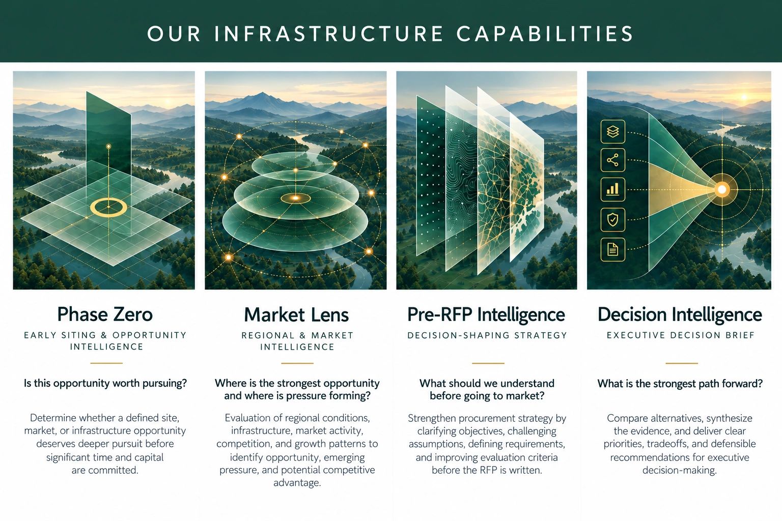
Emerora helps governments and infrastructure partners see opportunities, constraints, and tradeoffs earlier, before major time, capital, and resources are committed.
UNDERSTAND BEFORE YOU COMMIT
Emerora connects land, infrastructure, market conditions, development activity, and institutional knowledge to support earlier, better-informed decisions.
FROM SITING TO DECISION SUPPORT
Our intelligence products support key decision points, from early opportunity assessment and regional analysis to procurement strategy and alternative comparison.
BUILT FOR COMPLEX, PLACE-BASED DECISIONS
Emerora combines geospatial analysis, field intelligence, and contextual evidence to clarify opportunities, constraints, tradeoffs, and the path forward.